Remediation at Rumford Rifle Range
By Eric Ackerman, P.E.
A combination of effective stakeholder engagement, community collaboration, and careful planning were the keys to success in completing a lead remediation project at Rumford Rifle Range in Rhode Island.
Photos courtesy Weston Solutions Inc.
For nearly 80 years, the Rumford Rifle Range, located in East Providence, R.I., stood as a silent testament to military activities long past. Established in 1896 by the U.S. Navy, the range played a pivotal role in training servicemembers with the Rhode Island Army National Guard and the Navy.
For a half-century, the rifle range was a hub location for small arms, grenade training, and state rifle proficiency. Its closure decades ago in 1946 left behind a significant environmental issue: contamination resulting from the use of lead-based ammunition during decades of training. This accumulation impacted the soil and water quality, and posed a threat to nearby residences.
In 2014, the Baltimore District of the U.S. Army Corps of Engineers (USACE) contracted Weston Solutions to conduct a remedial investigation of the range. The examination identified 19 distinct areas of lead contamination and highlighted a pervasive health concern to the surrounding communities. The 27-acre former military training ground is primarily wooded and borders both Central Pond and several smaller water bodies. Contaminated areas extend beyond the range’s boundaries, encroaching on the Kimberly Ann Rock Memorial Athletic Complex, public lands, and residential and commercial properties.
The lead contamination, which also affected the Ten Mile River Greenway leading into Pawtucket, R.I., posed concerns for residents, recreation enthusiasts, and business owners due to the diverse uses of the land. Initiating a remedial action was essential to reduce risks to human health and the environment.
A comprehensive remediation effort, involving the precise excavation and safe disposal of 27,160-T of contaminated soil, has now achieved a significant milestone: the site’s designation for unlimited use and unrestricted exposure. This project, executed under the Defense Environmental Restoration Program and the Military Munitions Response Program, demonstrates the efficacy of rigorous environmental protocols and the critical importance of stakeholder engagement in returning valuable land to productive, safe community use.
Executing Excavation
USACE Baltimore District tasked Weston with executing a performance-based acquisition for a remedial action, aiming for remedy-in-place/response complete. The objective was to remove all lead-contaminated soil from the 7.22-acres (non-contiguous), known as the Munitions Response Site.
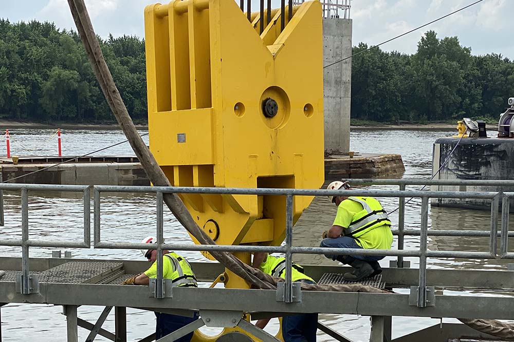
In May 2022, a field team dispatched to the site to begin with the meticulous delineation of wetlands and a comprehensive site survey that marked excavation clearances for the 19 areas contaminated with munitions constituents. These “munitions constituents” refer to the hazardous substance levels, specifically lead and other heavy metals, that are left behind after the use of military munitions. The field team prepared the site for excavation by building access routes, installing silt fences to control sediment runoff, and safely clearing trees and vegetation.
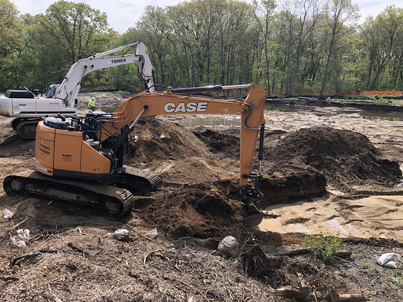
Addressing Risk Areas. After the planning phase, the excavation work began, resulting in the removal of 19,420-yd³ of lead-contaminated soil from the 19 risk areas. Based on the record of decision requirements, a pair of tracked excavators removed soil to depths of 6-in to 36-in across each risk area. A land surveyor established the boundary points, which were verified using a geographic information system to ensure accurate alignment with the risk area.
Soil then was excavated from the top of slope downward to minimize the spread of contamination. Daily surveys using a Trimble GEO 7X Global Positioning System and a high-resolution, survey-grade unit confirmed accurate excavation extents and depths.

Contamination Removal
Following excavation, a meticulous grid sampling method was employed to ensure the thorough removal of lead contamination. These confirmation samples were analyzed for lead by an accredited environmental laboratory to verify that levels were below the record of decision threshold of 150-mg/kg. This crucial step of confirmation sampling, essentially double-checking the site for any remaining contamination, was vital to ensure the area was completely clear. Importantly, when levels exceeded the threshold, the excavation area was expanded—a process that was repeated 52 times. Overall, 342 post-excavation confirmation samples were collected and analyzed; this diligence secured regulatory concurrence for the complete removal of lead-contaminated soil across all 19 risk areas.
To ensure representative sampling, 500-yd³ of soil stockpiles were homogenized and tested for landfill-required analytes. These included toxicity characteristic leaching procedure metals, total metals, semivolatile organic compounds, volatile organic compounds, total petroleum hydrocarbons, pesticides, herbicides, polychlorinated biphenyls, specific conductance, ignitability, reactive sulfide, reactive cyanide, and pH.
The stockpiles were covered daily to prevent migration caused by wind or rain. A total of 774 trucks transported 19,420-yd³ (27,160-T) of soil to approved facilities under bill of lading, manifest, or Uniform Hazardous Waste Manifest, in order to adhere to Rhode Island Department of Environmental Management permits for stormwater management, water quality, and wetlands.
Waste and Resource Management. To manage the excavated material, the field team implemented a comprehensive waste and resource management plan. Soil was analyzed for disposal suitability at federally approved facilities or for beneficial application at a state-approved landfill set aside for future use as a solar farm. Trees removed before excavation were repurposed. Hardwood and softwood trunks were transported off-site. Branches and brush were chipped and used for dust suppression on-site, saving on mulch and disposal costs. Stumps were chipped, segregated from contaminated soil, and transported to disposal facilities. This testing and redistribution of resources minimized waste and ensured harmful pollutants did not re-enter the environment.
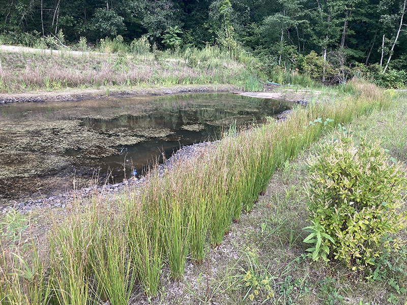
Following the remedial action at Rumford, the excavation areas were restored to their original elevation with approximately 10,000-yd³ of clean backfill, topsoil, and natural vegetation. The area was revegetated to match the surrounding landscape by planting native saplings, bushes, and seed mixes in the upland and wetland areas.
Effective Restoration
The success at the rifle range demonstrates the critical role of strong communication and collaboration on remediation projects. The work serves as a valuable model for communities facing similar environmental challenges and offers a roadmap for effective restoration of other impacted legacy sites.
Additionally, the project’s recognition with the 2024 USACE Baltimore District Environmental Team Award underscores its significance as a benchmark for future remediation initiatives under the Defense Environmental Restoration Program and the Military Munitions Response Program—highlighting the transformative power of coordinated efforts in addressing historical contamination and fostering positive community impact.
Community Collaboration
The removal of lead from such an extensive public area as Rumford offers numerous benefits to the community. However, the size of the affected area and proximity to residential neighborhoods presented challenges regarding public disruption and safety. Achieving success required collaboration with a diverse group of stakeholders (including federal and state agencies, local schools, businesses, property owners, the City of East Providence, Narragansett Indian Tribe, and the Rhode Island Historical Preservation & Heritage Commission) in order to address concerns, ensure continuity, and minimize risks.
Throughout the remediation of Rumford Rifle Range, proactive communication was paramount. The project team used social media, park and trail kiosks with fact sheets, and virtual calls with residents and school staff to inform residents about potential disruptions, particularly regarding truck traffic. This forward-thinking approach was instrumental in managing expectations and minimizing complaints.
Close collaboration with city personnel, a nearby manufacturing facility, impacted residents, and a special education school was essential as well. The mayor’s support ensured alignment with the city’s sustainability goals, while site walks clarified the scope of work. The team also coordinated with the special education school headmaster to minimize disruptions during school hours and maintain a positive environment for students and staff.
A temporary haul road was constructed to transport soil and heavy equipment, with specific consideration given to minimize noise, disruption, and dust. Impacted residents were invited to suggest restoration preferences for their properties. Collaboration with the city also involved detailed discussions about the revegetation plans and the specific trees requested by the community. Notably, the team fulfilled the specific request to plant American Paw Paw trees as part of an extensive replanting initiative.
The project’s focus on sustainability and public accessibility resulted in a restored, safe, and healthy environment. A variety of native trees and shrubs, including blueberry and huckleberry bushes, will enhance biodiversity and create a more user-friendly space to enjoy for years to come.
Eric Ackerman, P.E., is Project Manager, Weston Solutions Inc.; eric.ackerman@westonsolutions.com
Published in the July-August 2025 issue of The Military Engineer

Check Out Related Articles From TME
-

Innovative PFAS Remediation at Camp Grayling
For project stakeholders and remediation managers confronted with PFAS, Regenesis demonstrates the efficacy of using Regenesis’ PlumeStop® colloidal activated carbon (CAC) at Camp Grayling, Michigan. -
A Standardized Approach to Aircraft Fire Training Infrastructure
To support enterprise-wide airmen readiness, the U.S. Air Force is modernizing its standard design for aircraft fire training facilities—introducing digital controls, dual-fuel systems, and PFAS-conscious infrastructure. -
Delivering Energetic Materials Manufacturing Facilities
Designing and constructing facilities that manufacture, process, handle, or store explosives and energetic materials present some of the most challenging defense projects—requiring technical experience, strict safety protocols, and a comprehensive understanding of regulatory frameworks. -
Forging Tradition and Innovation: A New Design Standard at Camp Lejeune
The II MEF Headquarters at Camp Lejeune blends Georgian Revival architecture with modern sustainability—delivering durability, efficiency, and precision that meets contemporary functional requirements while honoring heritage. -

Balancing Efficiency and Fiscal Responsibility
The continuing contracts clause offers the U.S. Army Corps of Engineers a way to improve project delivery and enhance fiscal responsibility by aligning funding with project execution. -
Next Steps for Digital Twin Development
U.S. Forces Japan is laying the groundwork for future integration of digital twin technology in order to validate and collect data that will offer comprehensive insights into utility conditions at installations and enhance overall decision-making, efficiency, and resilience.