
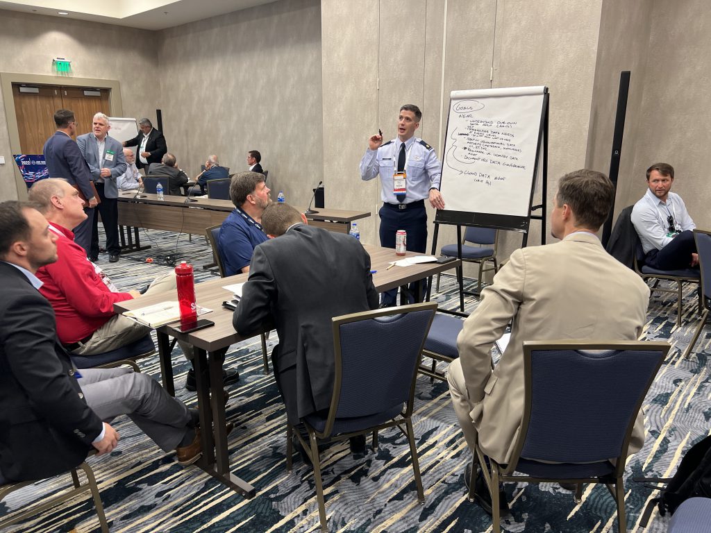
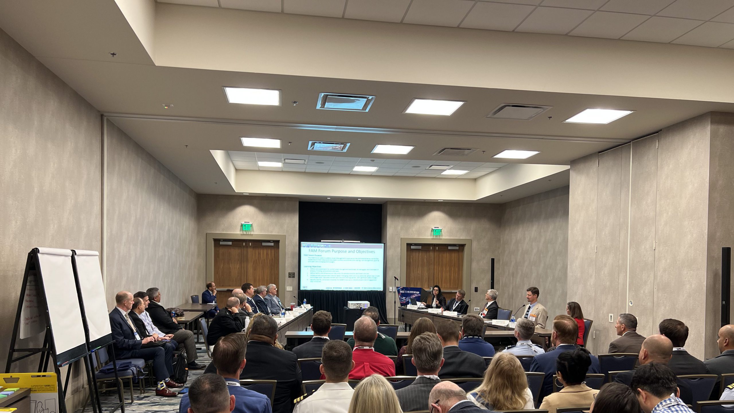
Discovering the Next IGE Project at the FAM Forum
The inaugural Facility Asset Management (FAM) Forum at the 2022 JETC offered a premier opportunity to discuss enterprise-wide asset management issues with senior Department of Defense leaders and industry stakeholders.
Modeled after the Joint Engineer Contingency Operations Warfighter Seminars, the FAM Forum was designed with a collective goal of establishing a national IGE project to propose solutions to the major challenges facing asset management organizations.
Topics and Findings
Split into five breakout groups, the forum addressed a series of key topics and findings.
Group 1: Procurement and Partnerships. This group discussed ways to expand opportunities to build connections and processes. Participants concluded that continued emphasis on networking and technology integration will achieve better alignment between contracting and mission stakeholders. Additionally, applying the full range of contractual delivery mechanisms, including design-build-operate-maintain, can provide flexibility within the seemingly rigid acquisition framework. With those findings, a future IGE project will explore technology-driven pilots and unique delivery mechanisms to inform potential footprint reduction and divestiture to public, private, and other federal stakeholders.
Group 2: Process and Policy. This group focused on the importance of standardizing asset management organizational processes to help senior leaders communicate with a consistent and informed perspective. The group determined that while each service has its own needs, execution methods, and asset management philosophy, there are common themes that can provide the basis for joint leaders to develop policy and advocate for crucial resources. A future IGE effort should inform consolidated defense policy designed to institute data management standards, lifecycle management processes, and proactive planning. Central to this effort is understanding the extent of the barriers to consistent and repeatable decision-making throughout the full spectrum of facility requirements and execution avenues.
Group 3: Data Systems. This group focused on how to use data to enable effective asset management decision-making. Participants suggested that throughout the military enterprise, facility data should be treated as an asset. To do so effectively requires extensive knowledge of asset management data architectures and a governance policy that standardizes data management and applications. The group identified three IGE focus areas: understanding current data architecture and information demands; benchmarking against industry data management practices; and expanding federated data management policy. These lines of effort will steer asset managers toward database automation and process standardization across the Defense Department.
Group 4: Technology and Innovation. This group identified the importance of incorporating modern technology to enable efficient decision-making. Geospatial engineering, sustainment management software, and other technologies drive modern approaches to facility asset management. But the pace of technological development often exceeds the department’s capacity to implement new solutions. Keeping pace with industry will involve policy influence as well as cultural change. The working group suggested that an IGE effort should examine data culture, support new technologies, and seek senior leader endorsement to adopt the latest technology and best business practices. The services need dedicated implementation champions responsible for navigating the change.
Group 5: Resources. This group discussed the impacts of limited manpower, funding, and training support to installation operations and maintenance units. The group argued that service components are not resourced to effectively implement asset management enterprise-wise. Consequently, many organizations are forced to respond only to high priority or emergency work orders rather than applying a holistic asset management program. A primary output of an IGE effort will be to understand how the joint services advocate for resources by translating infrastructure risk into mission needs.

ADVANCING THE DISCUSSION
Across the Defense Department, both infrastructure and facilities are faced with limited resources, lagging technology, and disparate policies. To reverse these trends, deliberate industry-government engagement is needed. Accordingly, the Facility Asset Management COI is composing a position paper to capture a joint perspective to this issue and initiate an IGE project.
The COI will present a consolidated problem statement at the upcoming 2022 Federal Small Business Conference, being held Nov. 2-4 in Nashville, Tenn., and will continue to recruit industry sources and other professional organizations to posture for this cross-cutting initiative. Those interested in joining the discussion and sharing fresh ideas on how to improve the defense community’s approach to facility asset management are encouraged to attend.
Demonstrating Capabilities: GeoWERX II
Hosted at the 2022 JETC by the Geospatial Working Group (under the Facility Asset Management COI), GeoWERX II brought together leading industry experts and military geospatial engineers to demonstrate the employment of digital tools in a real-world environment. This three-day exposition provided attendees an opportunity to engage with geospatial engineering specialists in their operating environment and observe some of the data collection, analysis and presentation techniques, and resources they employ for data to be used in infrastructure visualization.

Comprised of nine industry members and three military groups, the GeoWERX II team sought to expand awareness of the resources and processes necessary to enable high fidelity location intelligence products and services fueling effective contingency operations, resilience, energy and sustainability, environmental, and facility management decisions. Additionally, GeoWERX II aimed to demonstrate built and natural infrastructure geospatial data collection, processing, integration, analysis, and visualization methods to fuel better informed decisions.
The demonstration used the Gaylord Rocky Mountains Convention Center and surrounding regional area as the subject of study. To start, bioenvironmental engineers collected field data from around the facility. The team used open-source data and data services discovered online and data collected on-site through remote sensing platforms and handheld bioenvironmental sensors. Data collected included sound levels, air quality, and radiation—and served as a baseline for demonstrating processing, integration, analysis, and visualization methods.
Spatial engineering then began the data integration process, incorporating the unique data from multiple sources into a single warehouse for analysis and enabling the development of interesting and compelling products supporting facility asset management, force protection, and disaster preparedness. The team overviewed the processes, tools, and products documenting the convention center’s built and natural infrastructure by integrating LiDAR with ArcGIS Software to create 3D visualization to provide a virtual scene.
Visitors were encouraged to engage team members in dialogue, increasing functional understanding of this low-density, high-value community of digital data warriors. To support the interactive experience, the 543rd Geospatial Planning Cell displayed an interactive dashboard of real-time data and its analysis on contemporary issues of natural disasters and humanitarian relief. Many attendees walked away with the critical understanding that data challenges faced are cultural, not technological, and that part of the solution to their data challenges, no matter the mission, are geospatial engineers within their own or partner organizations.

The GeoWERX II team also took advantage of a unique opportunity to conduct a livestream with select members of the U.S. Geological Survey’s National Civil Application Center, Federal Emergency Management Agency, and Civil Air Patrol. Using a cell phone and webinar application, team members were able to discuss their contributions to the demonstration, as well as answer questions and receive recommendations from attending National Response Framework partners.
GeoWERX II demonstration partners emphasized location being integral to military engineering culture. Transforming this culture’s ability to effectively leverage location intelligence first requires an understanding of geospatial engineering capabilities followed by time, patience, and determination. It is an evolutionary process, but one necessary to accelerate achieving data as a weapon system for operational effect.
Spotlight on Our Society
In Focus digs deep into singular programs and events from across the Society, shining a light on how SAME is making an impact on developing multidisciplined solutions to national security infrastructure challenges.