
A Year-Long Journey in Leadership Development Helps Expand the Reach of Geospatial Technology.
“Leadership and learning are indispensable to each other,” John F. Kennedy once wrote. Leadership isn’t developed in a classroom alone, and learning is cultivated through experience, collaboration, and the opportunity to solve real challenges alongside people with different perspectives.
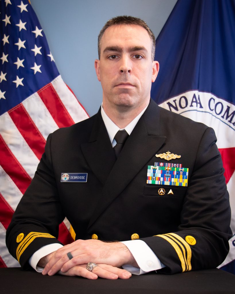
When Lt. Cdr. Patrick Debroisse, CMH-A, NOAA, began searching for professional development opportunities, he wanted a program that would not only build on his existing leadership experience, but would also provide opportunities for interaction outside of his immediate community. SAME’s Leader Development Program (LDP), with its multidisciplined membership representing the federal A/E/C industry, government agencies, and academia, was a natural fit.
“When I was looking at leadership programs, I wanted something that would expose me to perspectives outside my own organization,” Patrick said. “Through the LDP, I’ve worked with people from government, industry, and the military whose backgrounds are completely different from mine. That’s probably been the most valuable part of the experience.”
Since 2019, LDP has brought together emerging leaders from across the Society and taken them through a yearlong curriculum comprising 120 hours of instruction, mentorship, and cohort interaction. That intense training culminates in a final project, a Utilization Project Implementation Capstone (UPIC), that addresses a key need or priority of the Society or the A/E/C community.
While Patrick is no stranger to leading engineering teams in support of national security priorities, his year as part of LDP would challenge him in new, and unexpected, ways.
A Leadership Lesson in Adaptability
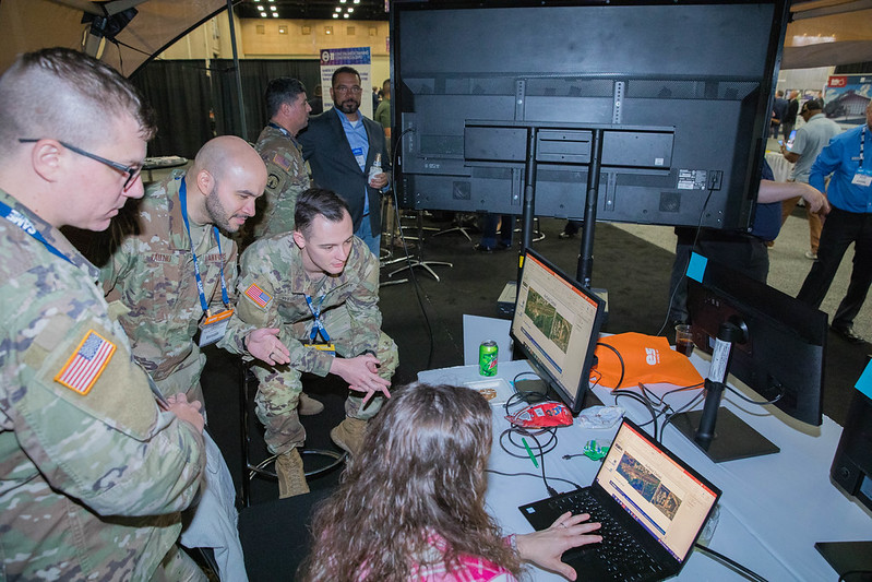
Patrick’s day-to-day work at NOAA is heavily focused on geospatial technologies, and so he sought to leverage that expertise in selecting his LDP capstone project. Initially, his UPIC focused on supporting GeoWERX, a geospatial exercise that had traditionally been held during the Joint Engineer Training Conference (JETC). The hands-on exercise showcased the importance of geospatial data and technology across the engineering disciplines by displaying and demonstrating the cutting-edge tools of the trade. Conference attendees had an opportunity to engage directly with geospatial experts, see and interact with available tools, and even watch personnel carry out live demonstrations with the geospatial capabilities on display. However, when the priorities for GeoWERX changed and the exercise didn’t return to JETC, Patrick was faced with an unexpected challenge.
“GeoWERX demonstrated the power of geospatial information systems to solve complex infrastructure and emergency management challenges,” Patrick said. “But when it was removed from the JETC program, we were forced to ask, ‘What’s next?’”
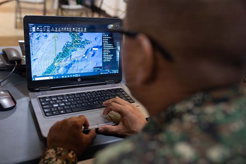
The original concept of Patrick’s project was to build educational programming throughout the year, culminating in the GeoWERX exercise. With that endpoint no longer feasible, Patrick and his team looked for a better solution that would create broader, longer-lasting value for SAME and the A/E/C community.
The breakthrough came when Patrick considered how geospatial interacts with and supports virtually every aspect of the built environment, from flood modeling and infrastructure planning to navigation, logistics, and emergency response. Rather than focusing on a single event, he drew on the perspectives he had gained through LDP and reimagined how geospatial expertise could support the Society year-round.
With this new mindset, Patrick developed a new approach connecting the Geospatial Working Group with SAME’s Communities of Interest (COIs), bringing geospatial knowledge directly to members working in resilience, infrastructure, military readiness, emergency response, and other technical disciplines. The new geospatial playbook moves away from the fixed GeoWERX installation and creates a more agile platform with the ability to customize outreach programs as opportunities arise. By connecting technical experts with COIs and raising awareness across the Society, Patrick’s project will create new opportunities for collaboration between government agencies, military organizations, private industry, and academia.
“We would bring geospatial expertise directly to the COIs by providing webinars, technical experts, articles, and educational resources that demonstrate how geospatial technology can support their specific missions,” Patrick said.
Continued Commitment
Although Patrick’s year with LDP is over, he plans to remain involved with the Geospatial Working Group to continue expanding partnerships and advocating for a deeper understanding of the technology across the Society.
“One thing we realized through this process is that geospatial technology has become so common that people almost forget it’s there. Everyone uses GPS. Everyone uses digital maps. Weather radar, satellite imagery, and smartphone navigation—all of that is geospatial. People sometimes assume the technology has matured as far as it can go. In reality, that’s far from true,” Patrick said. “New tools and capabilities are constantly being developed, and it’s the responsibility of the Geospatial Working Group to make sure the engineering community understands how those advances can support their work.”
This lasting commitment and engagement is exactly what the LDP hopes to inspire in all its graduates. Leadership development is not simply about preparing someone for the next promotion or assignment; it’s about developing leaders who are dedicated to serving their profession, mentoring others, and strengthening their organizations.
Through the LDP, I’ve worked with people from government, industry, and the military whose backgrounds are completely different from mine. That’s probably been the most valuable part of the experience.
Lt. Cdr. Patrick Debroisse, CMH-A, NOAA
Related News
-

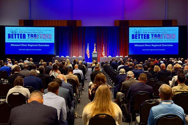
Collaborating Across the Missouri River Region
When the Greater Kansas City and Omaha Posts realized they were competing for venues with the FIFA World Cup they combined efforts and created a successful new event. -
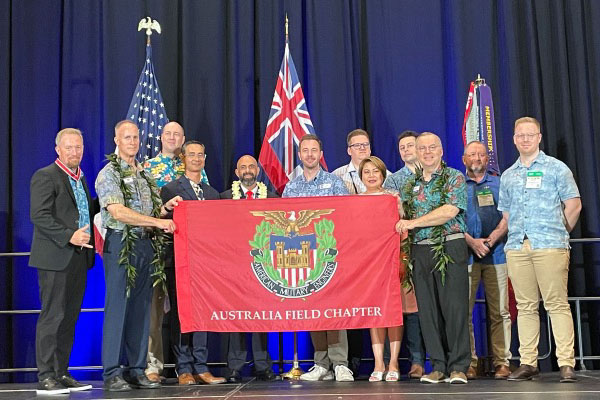
Bridging the Gap: How the Australia Post Fills a Critical National Security Need
Australia’s first Post finds its footing at a record setting pace, bringing together government and industry in an increasingly important region. -
Sharing SAME’s Value Across the Pacific Northwest
Learn how SAME’s Seattle Post’s Combined Regional Small Business Symposium and Meet the Chiefs brings industry and government together to tackle historic workload in the Pacific Northwest.
Stay up to date on all SAME news and more; download SAME Mobile today!